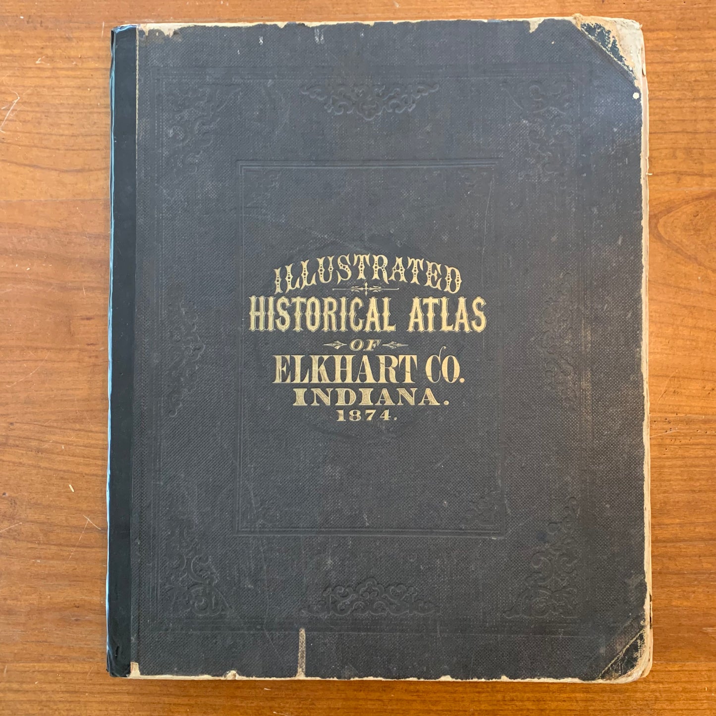
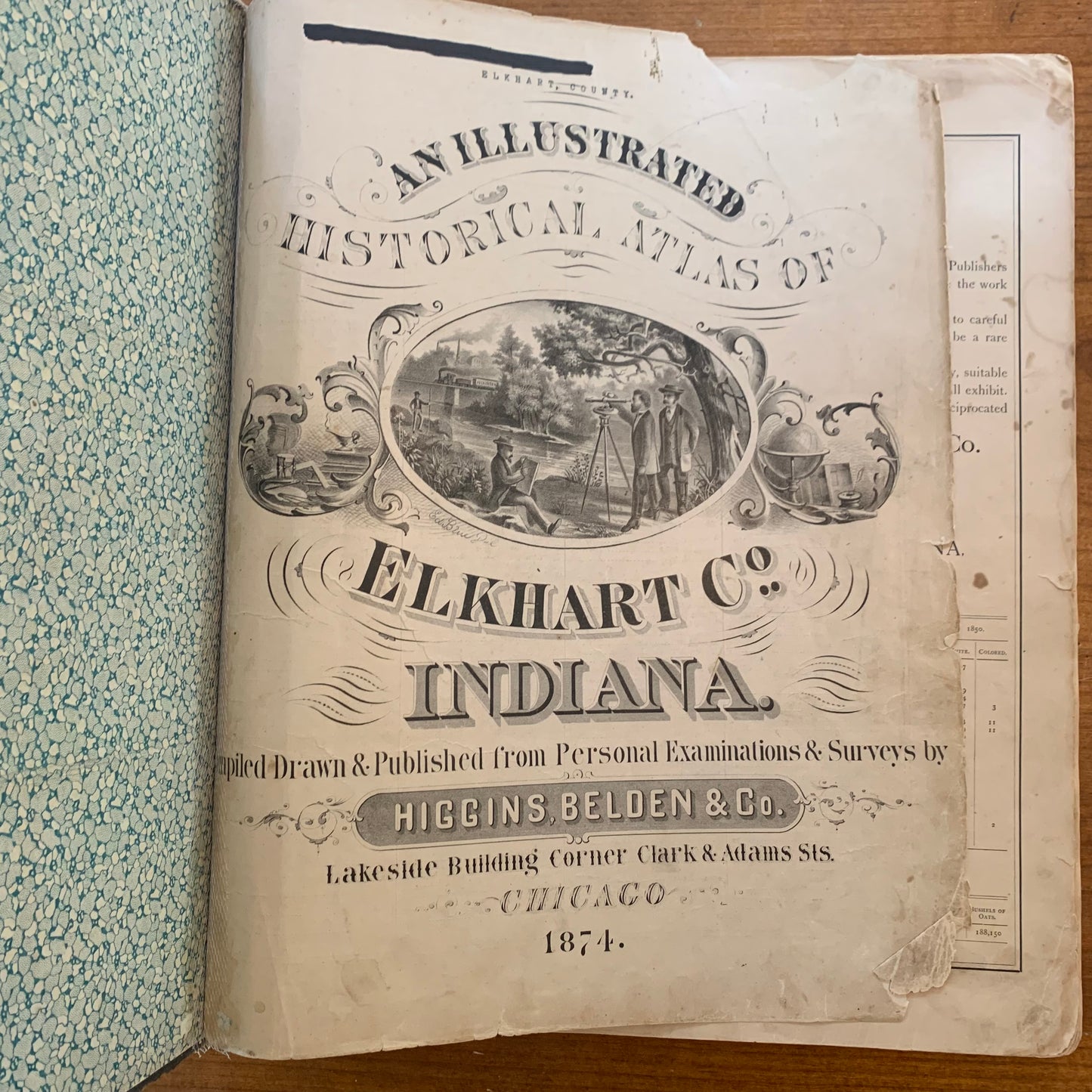
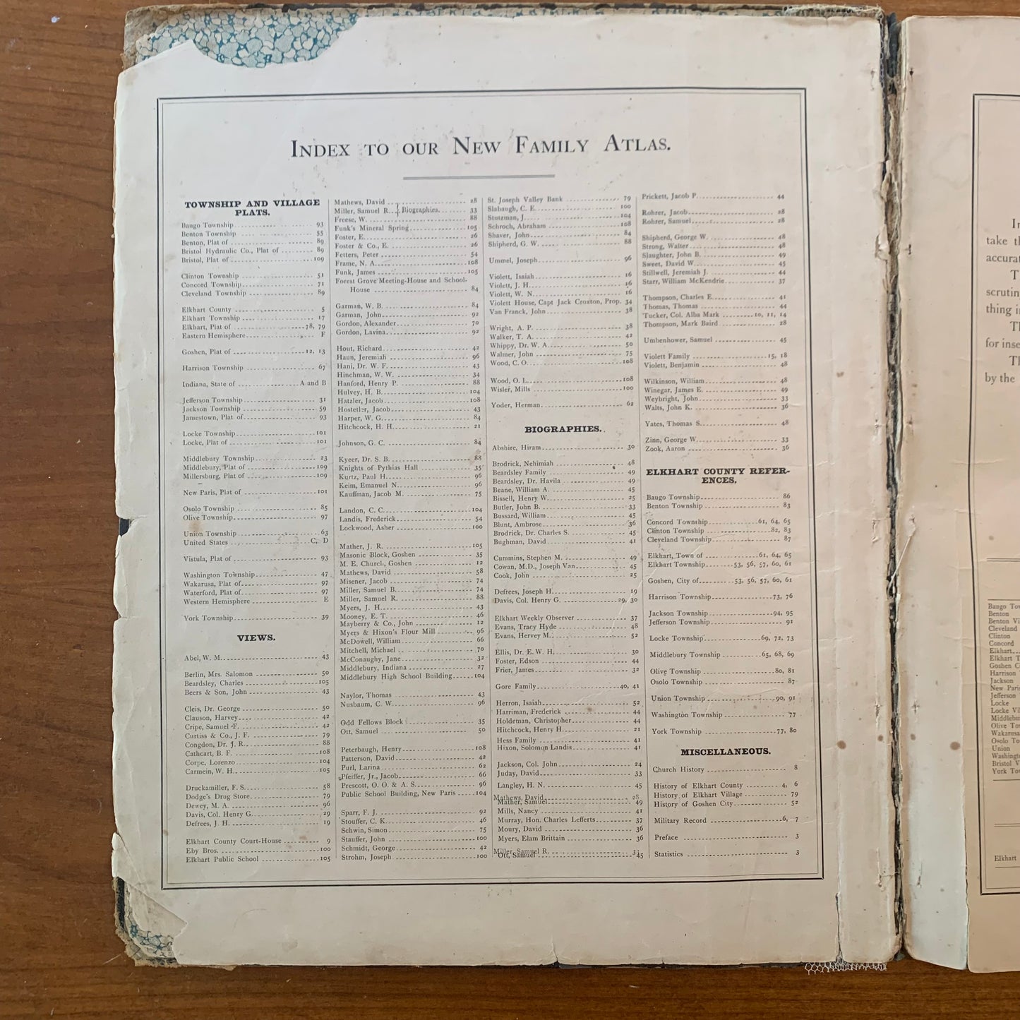
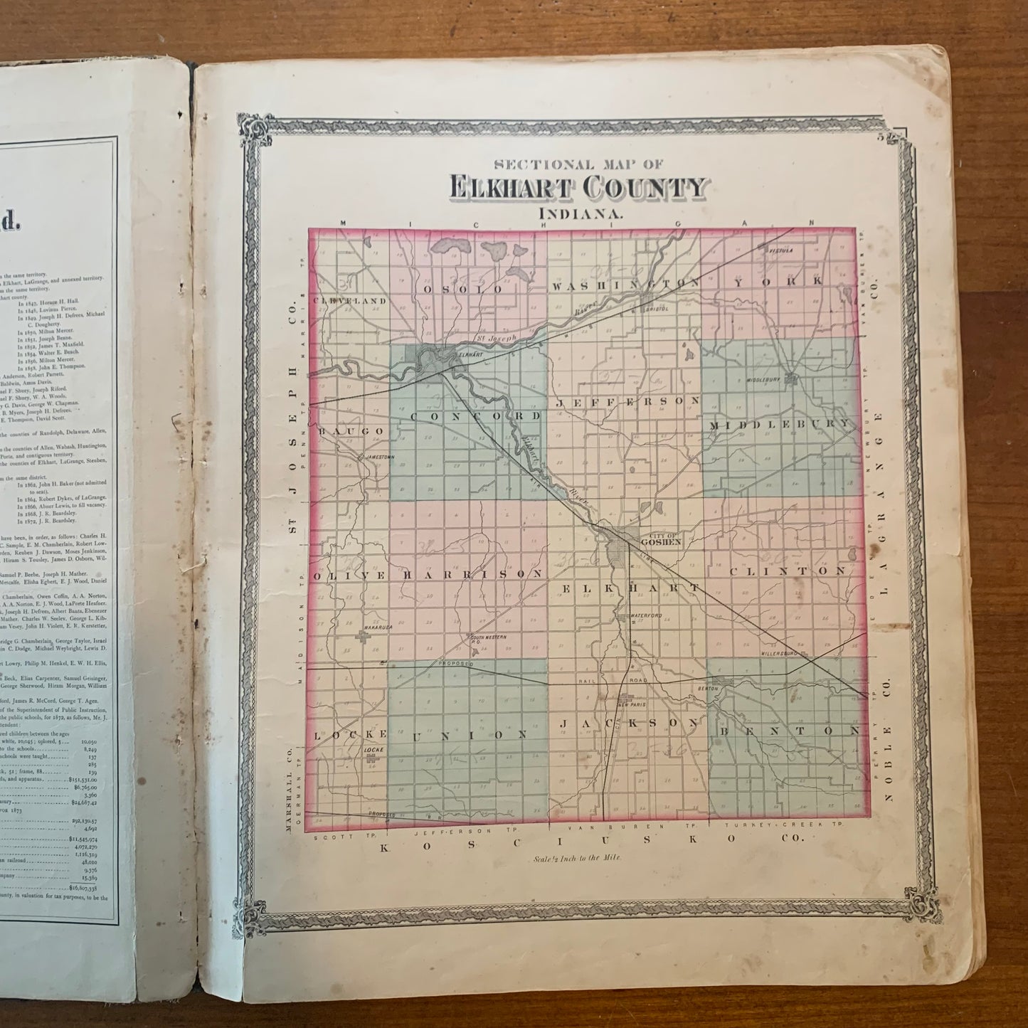
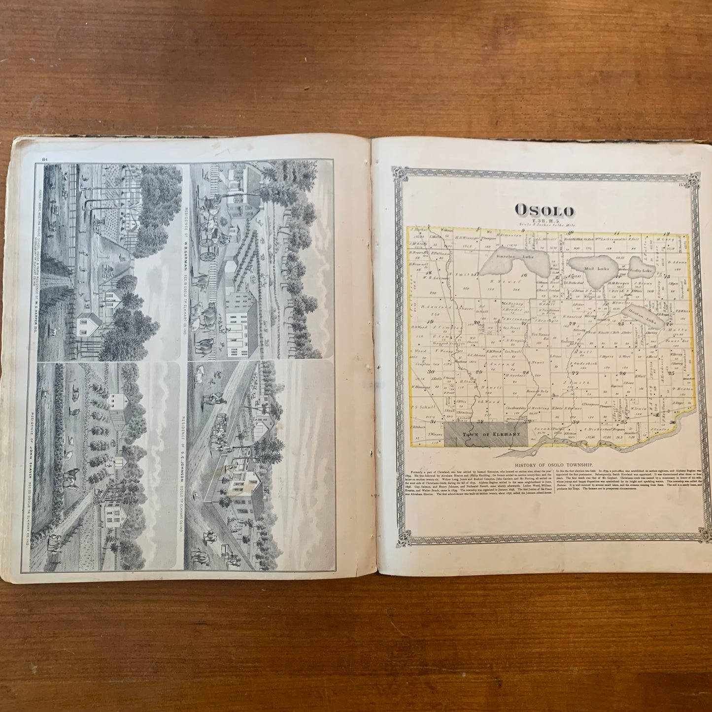
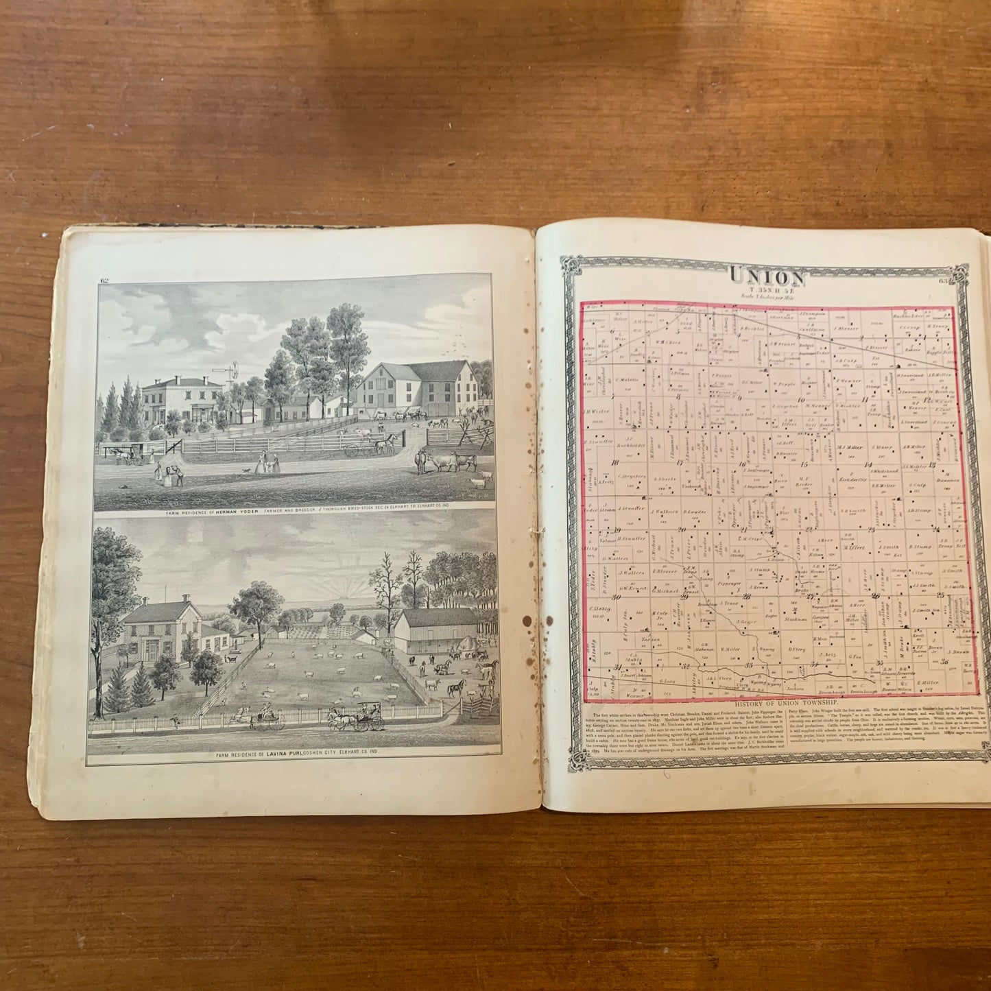
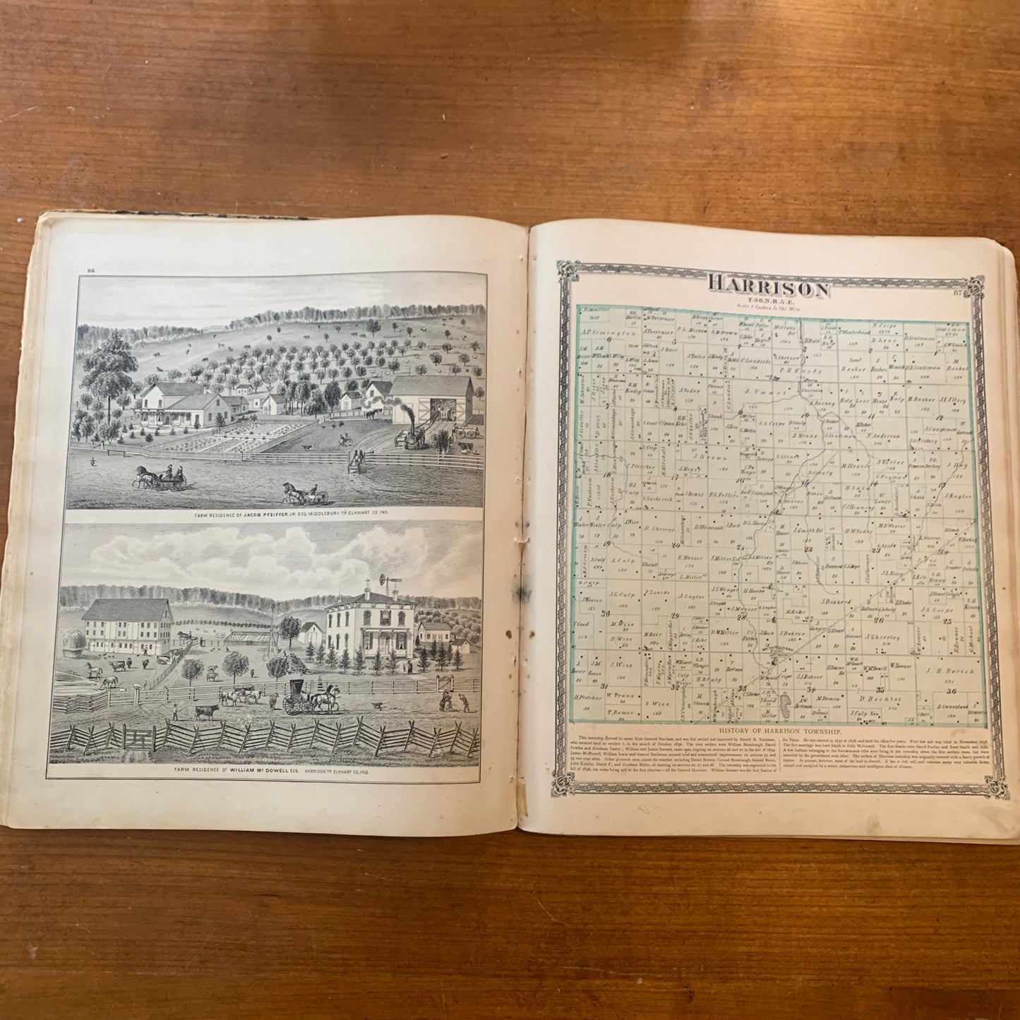
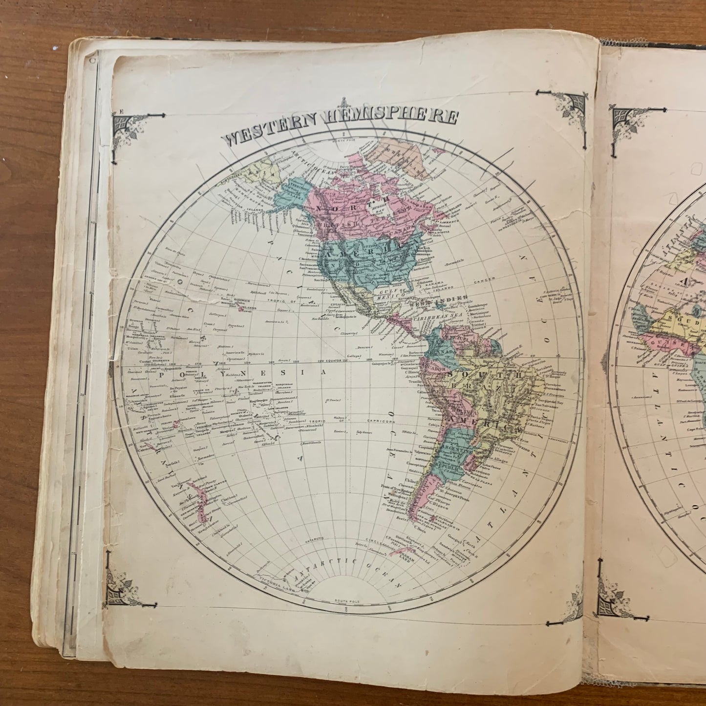
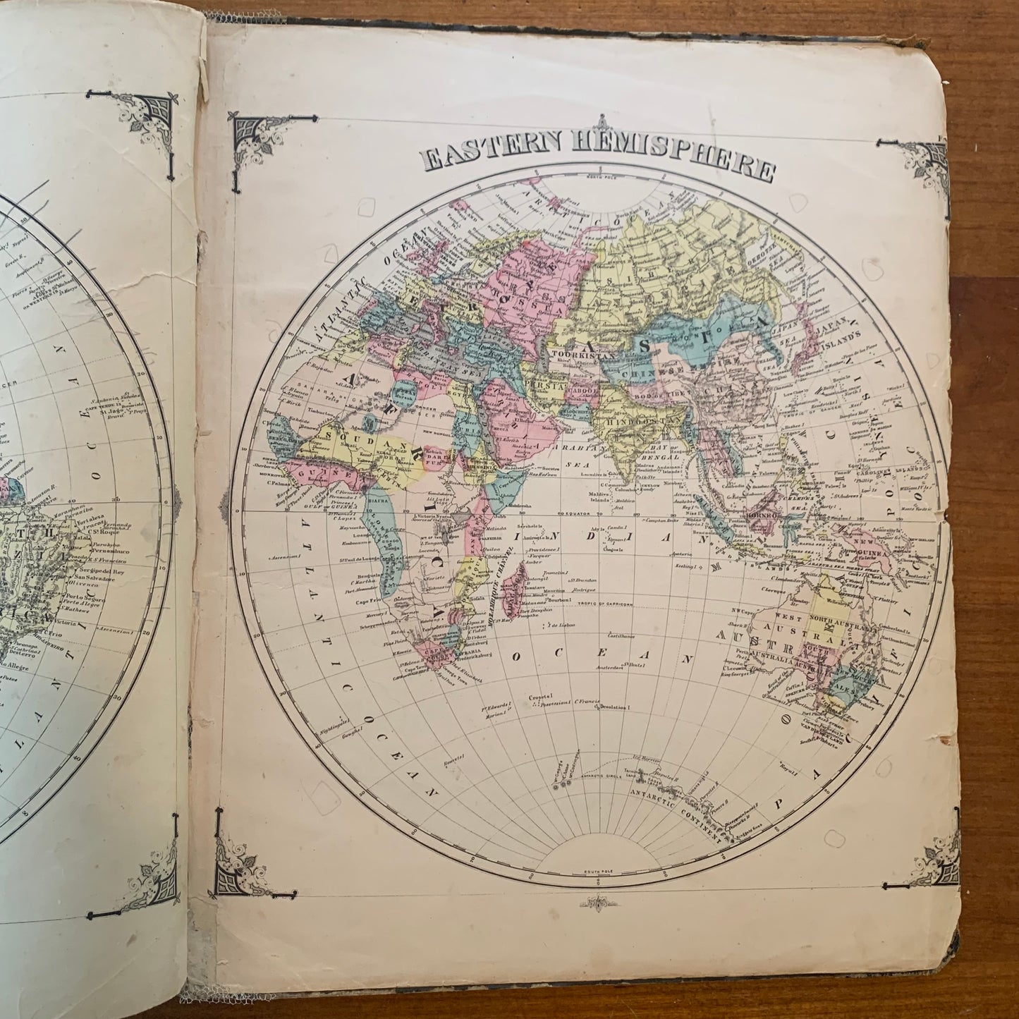
[Indiana, Elkhart County, 1874] An Illustrated Historical Atlas of Elkhart Co. Indiana. Drawn and Published from Personal Examinations & Surveys by Higgins, Belden & Co.
Lakeside Building Corner Clark & Adams Sts., Chicago: Higgins, Belden & Co. 1874. 17 3/4" x 14 1/2" oversized atlas. 121 pages, complete. Cloth covered boards with gilt cover titles and heavily worn corners and tape repaired spine. Wear and rubbing to boards at cover edges and corners. Title page glued onto front cover. Brittle paper with tears and chipped edges, some spotting and toning throughout. Black and white illustrations, color maps. Overall good condition.
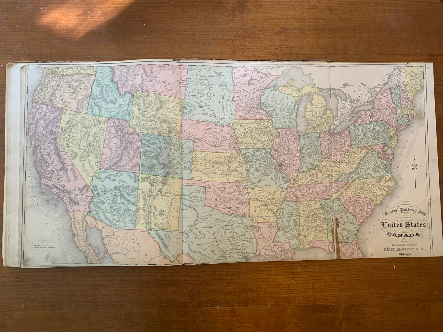
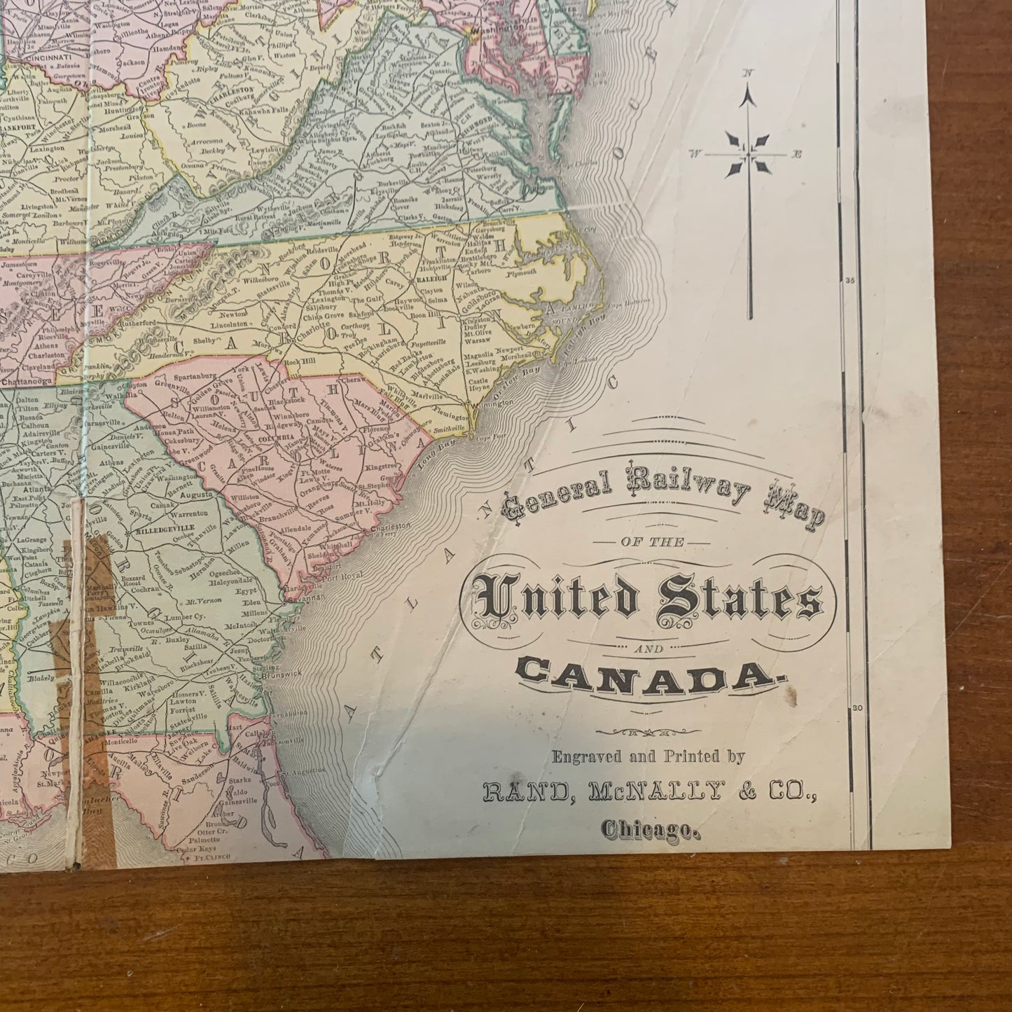
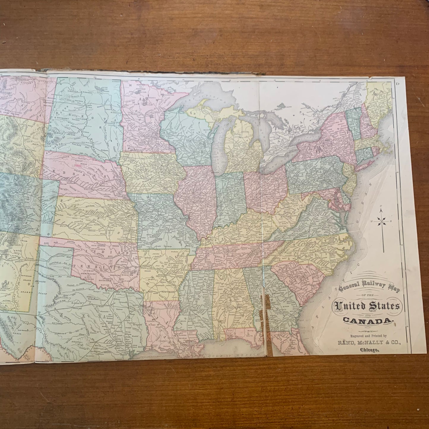
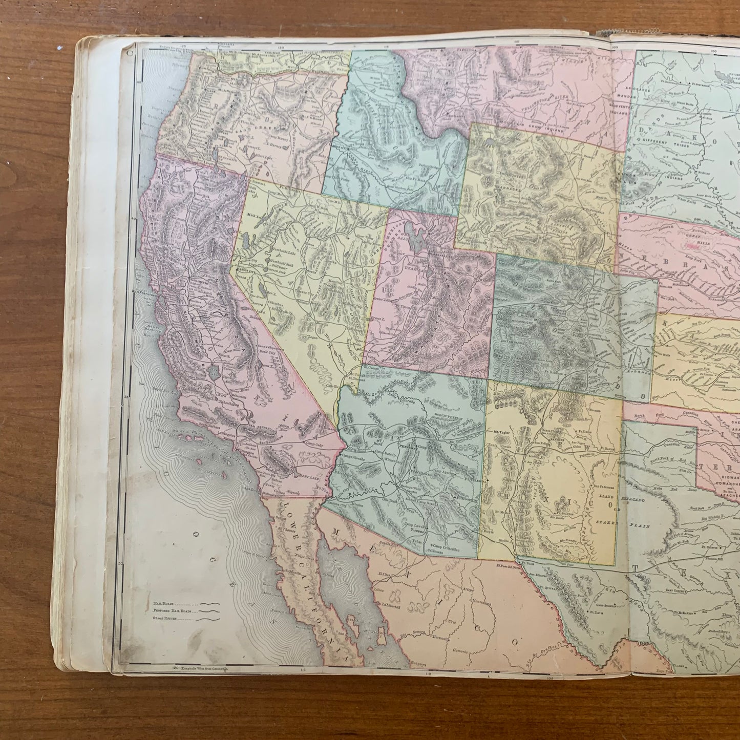
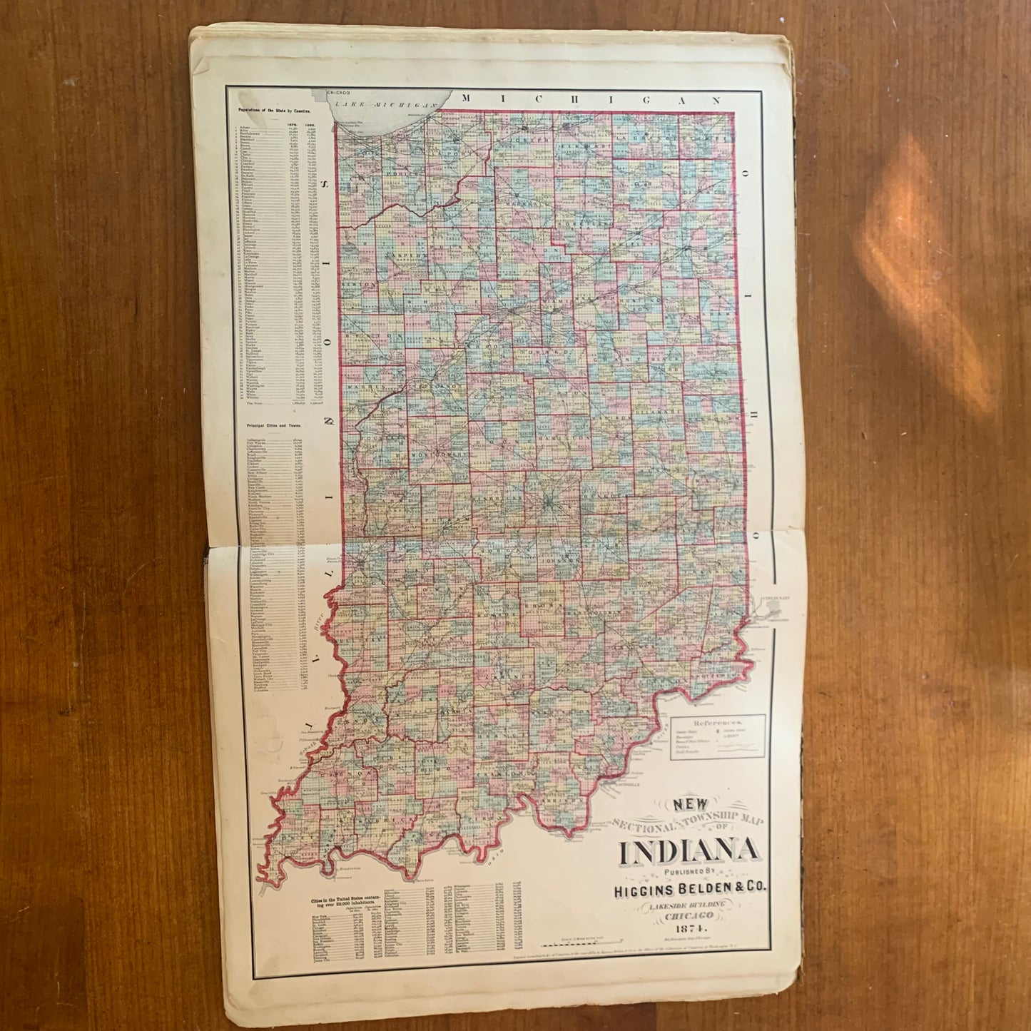
Contains a foldout ‘General Railway Map of the United States and Canada’ engraved and printed by Rand, McNally & Co.