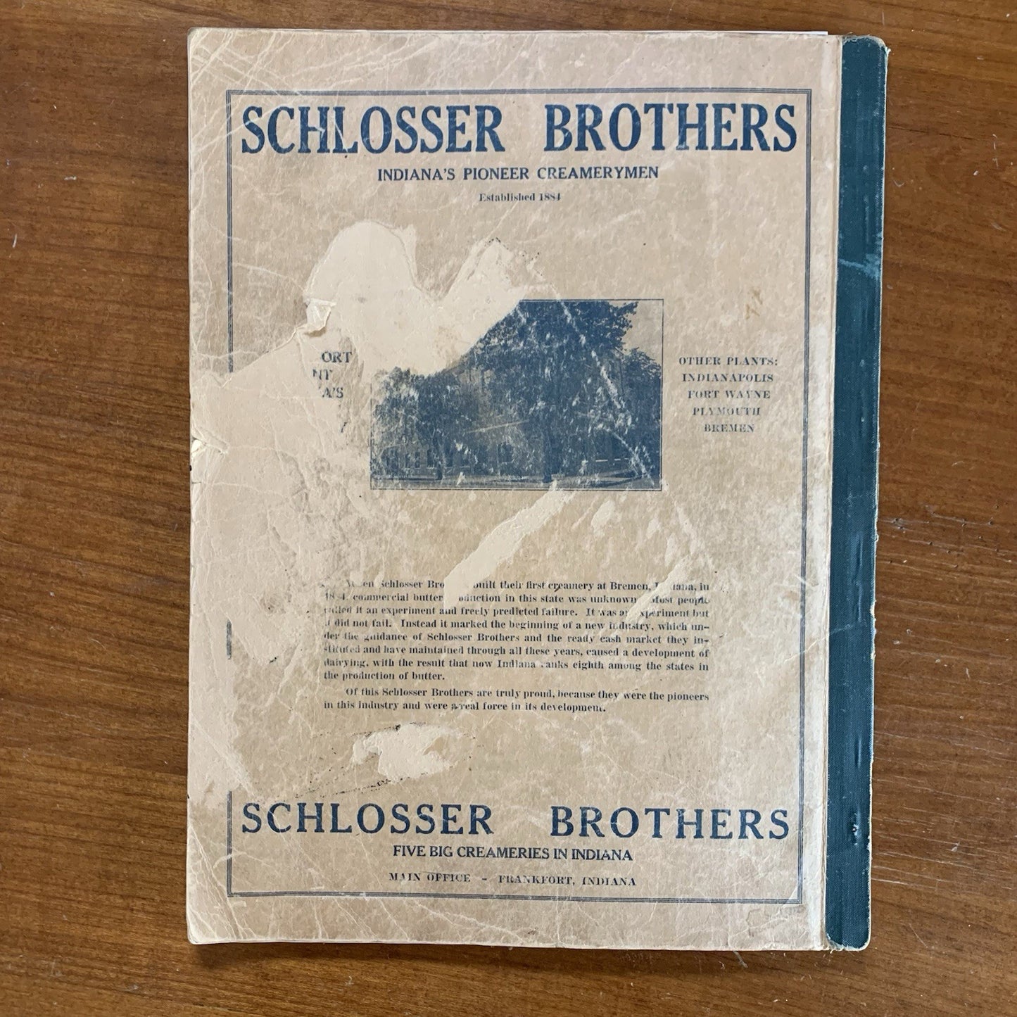
[Indiana, Clinton County, 1919 Atlas] Atlas and Plat Book of Clinton County Indiana. Containing outline map of the county; plats of all the townships with owners’ names, indiana state map, map of the United States, map of the world, map of New Europe, officers’ emblems, Clinton county’s honor roll of soldiers, sailors and nurses. Also history of the world war and atlas of the world.
Frankfort, Indiana: Frankfort Morning Time. 1919. 16” x 12”. Softcover wrappers have wear. 35 pages of county maps (plus map of Indiana), followed by history of the World War 1 and world atlas. Great color, generally clean with some occasional writing. Overall good to very good. Satisfaction guaranteed or you can send it back!