Standard Atlas of Whiteside County, Illinois, Including a Plat Book of the Villages, Cities and Townships of the County; Map of the State, United States and World; Patrons Directory, Reference Business Directory and Departments devoted to General Information; Analysis of the System of U.S. Land Surveys, Digest of the System of Civil Government, Etc.
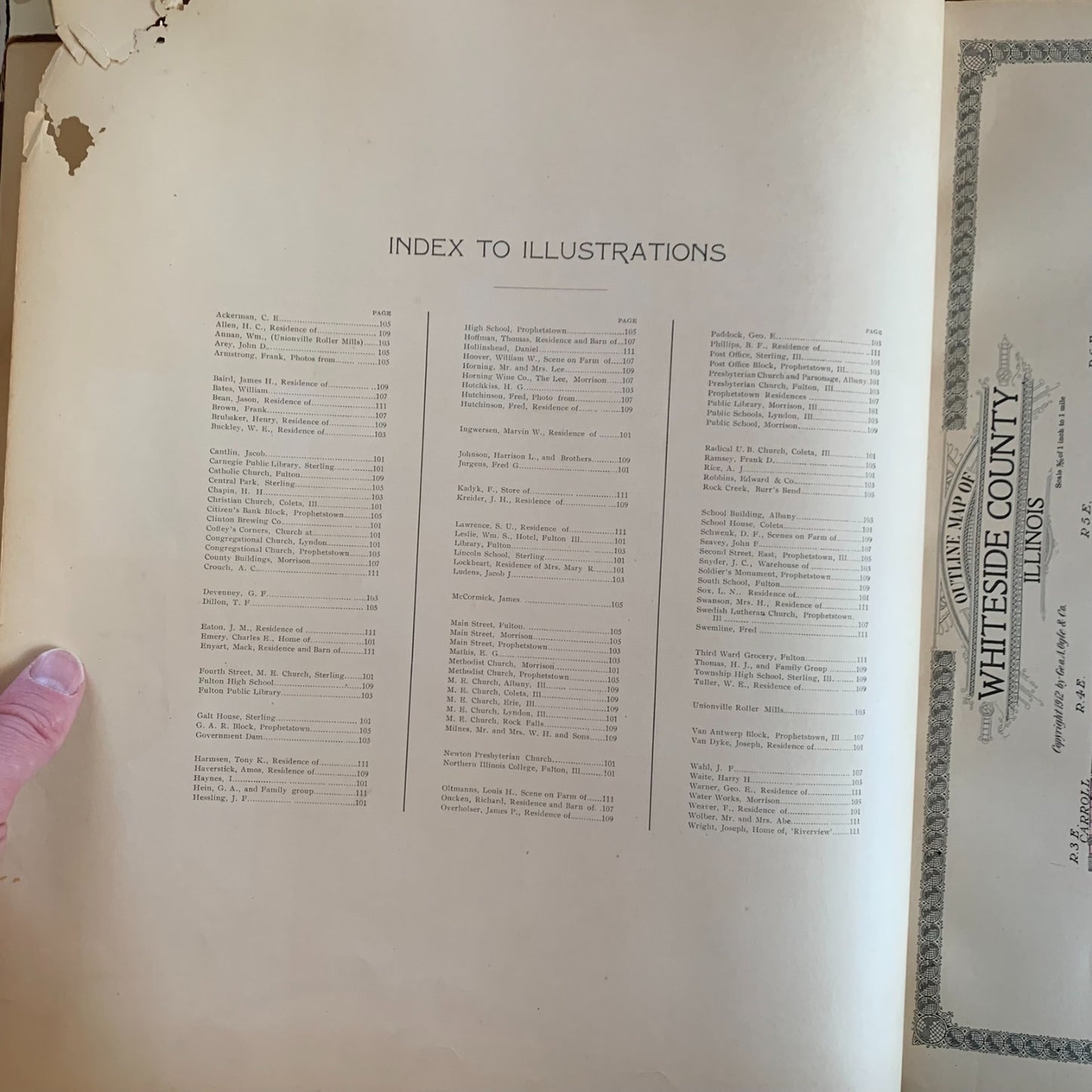
Chicago: Geo. A. Ogle & Co., Publishers & Engravers, copyright 1912. Folio, approximately 14 x 17 inches. Original dark green pebble-grain cloth boards with maroon leather spine and corner tips, blind-stamped decorative borders to front cover with elaborate gilt-stamped title cartouche reading "Standard Atlas of Whiteside County Illinois — Geo. A. Ogle & Co." Approximately 110+ pages including supplemental sections. Contents include the title page, general index, illustrations index, large color outline map of Whiteside County identifying all townships, color plat maps of every township in the county (Sterling, Coloma, Fulton, Albany, Erie, Lyndon, Jordan, Genesee, Fenton, Mount Pleasant, Hopkins, Garden Plain, Union Grove, Newton, Clyde, Ustick, Hahnaman, Hume, Tampico, Montmorency, Portland, Prophetstown, and others) with thousands of named landowners, detailed multi-page plats of the cities of Sterling (East and West parts) and Rock Falls, plats of Fulton, Morrison, Albany, Erie, Lyndon, Prophetstown, Tampico, Coleta, Como, Mineral Springs, Unionville, and many smaller villages, two-page Cram map of Illinois, maps of the United States and world, a Patrons' Reference Directory of Whiteside County, illustrations of Whiteside County residences and businesses, an Analysis of the System of U.S. Land Surveys, and supplemental sections on civil government, banking, and a chronological history. Condition: covers heavily worn at edges and extremities with leather losses at spine head, tail, and corners; front cover detached or nearly so along front hinge; binding loose throughout with sewing visible; significant chipping and edge tears to the title page and several preliminary leaves with paper losses to upper corners; small marginal tears and edge wear to scattered plates; interior generally clean and bright with strong original hand-coloring on plat maps; binding cords visible but holding most signatures. lat contentP remains Good and complete.
A substantial and richly detailed plat atlas of Whiteside County in northwestern Illinois, published at the height of Geo. A. Ogle & Co.'s reign as the preeminent American county atlas publisher. The township plats name thousands of individual landowners across every section of the county, providing essential reference material for genealogists tracing families in Sterling, Rock Falls, Fulton, Morrison, Prophetstown, Lyndon, Erie, Albany, Tampico, Coleta, and the surrounding farming communities. The atlas is particularly notable for its detailed multi-page city plats of Sterling and Rock Falls, the twin industrial cities along the Rock River, and Fulton on the Mississippi, capturing these communities at the height of their pre-WWI industrial prosperity. Tampico Township is included — the birthplace of Ronald Reagan, who was born there in 1911, just one year before this atlas was published. The Patrons' Reference Directory offers biographical and farm-ownership detail rarely found in later plat books. A foundational reference for Whiteside County genealogy and Illinois local history.
Satisfaction guaranteed or you can send it back!
Satisfaction guaranteed or you can send it back!