Warner & Beers. Atlas of Whiteside Co. and the State of Illinois, to which is added an Atlas of the United States, Maps of the Hemispheres, &c.
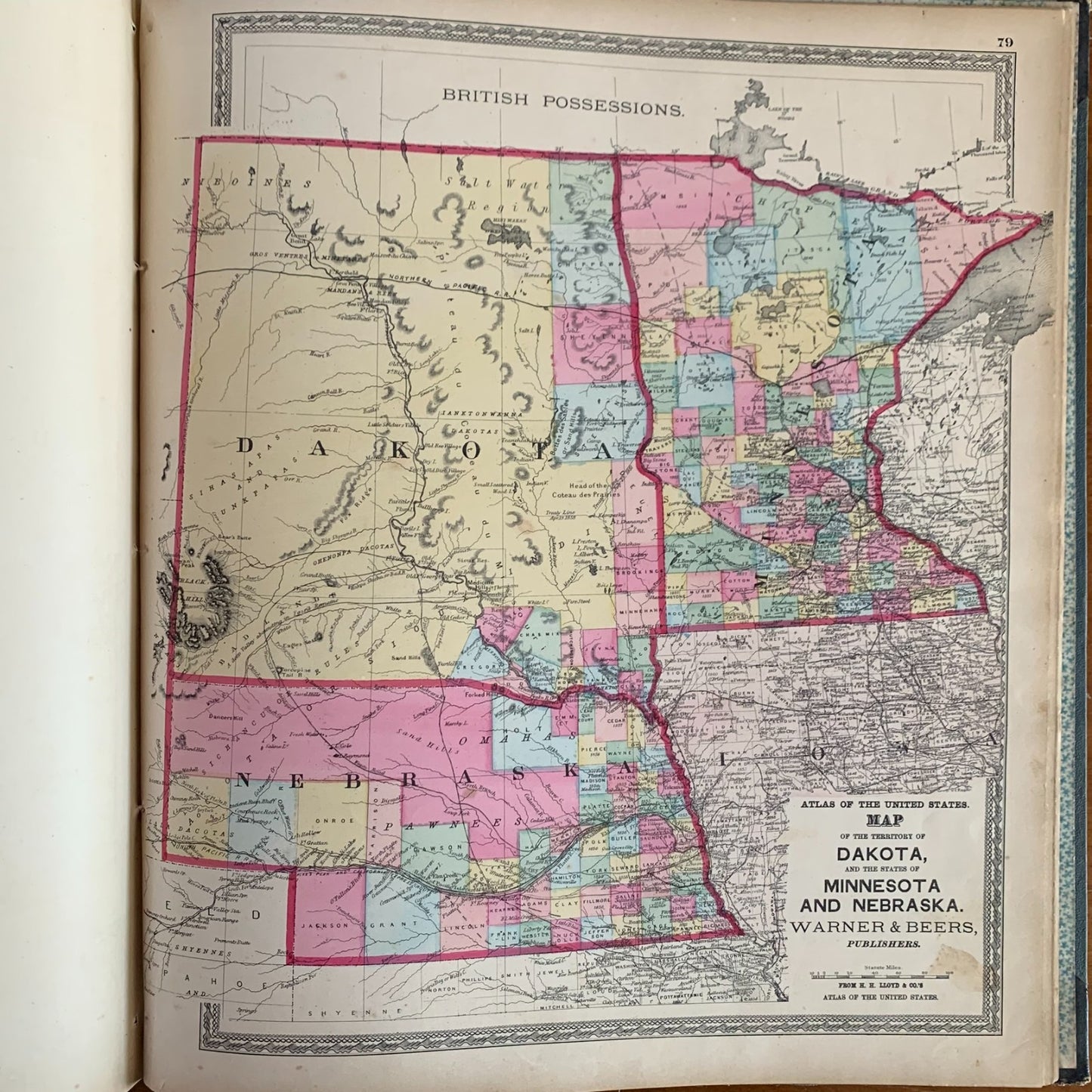
Chicago: Warner & Beers, Publishers, 62 & 64 West Lake Street, 1872. Folio,15.5 x 18 inches. Original blue cloth-covered boards with black leather spine and corners, gilt lettering and decorative blind-stamped borders to front cover. Profusely illustrated with hand-colored lithographed county and township maps of Whiteside County (including Morrison, Lyndon, Round Grove, Tampico, Erie & Portland, Sterling, Fulton, and many others), accompanied by detailed plates of public buildings, residences, businesses, and bird's-eye views; followed by a general atlas of Illinois counties, U.S. states and territories, and the world. Includes the Official Railroad Map of Illinois, Map of the City of Chicago, and maps of all U.S. states and territories of the period including Dakota, Indian Territory, and Alaska. Condition: covers worn at edges with rubbing to cloth and bumped corners; front hinge cracked and starting; front endpaper torn at gutter; some scattered foxing and toning to text leaves; maps generally very clean and bright with vivid original hand-coloring. Very Good+.
A landmark Illinois county atlas published in the great wave of post-Civil War Midwestern county atlases, combining a detailed plat-book of Whiteside County in northwestern Illinois with a complete general atlas of the United States. The Whiteside section identifies thousands of individual landowners by name across every township, making it an indispensable resource for genealogists researching families in Morrison, Sterling, Rock Falls, Fulton, Prophetstown, Tampico, Lyndon, Erie, and surrounding communities. Notably, Tampico Township is the birthplace of Ronald Reagan, and this atlas predates his birth by nearly 40 years, showing the township as it appeared to his ancestors. The Map of the City of Chicago is particularly significant, depicting the city in 1872, just one year after the Great Chicago Fire of October 1871, capturing the metropolis at the moment of its rebuilding. A scarce and highly collectible piece of Illinois cartographic history.
Satisfaction guaranteed or you can send it back!
Satisfaction guaranteed or you can send it back!