This is a facsimile reprint of a distinctive variant of F.W. Beers'Atlas of New York and Vicinity, originally published in 1867. Unlike the more commonly encountered Westchester-only edition, this variant extends its coverage deep into southwestern Connecticut, with detailed town and village plans covering virtually all of Fairfield County - making it an exceptional resource for genealogists, local historians, and collectors with ties to the New York-Connecticut border region.
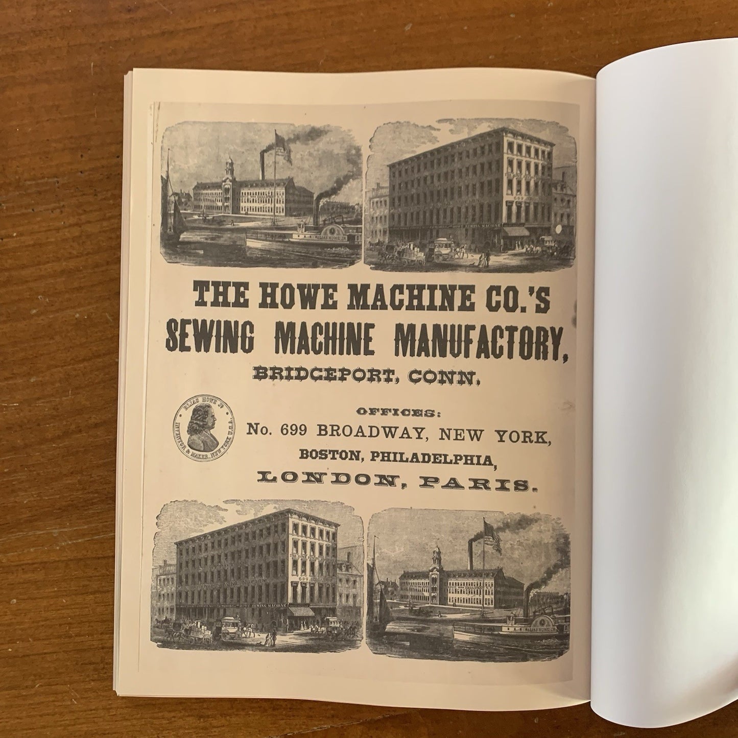
The atlas opens with general maps of New York City and its immediate surroundings, then moves through the lower Westchester towns of Yonkers, New Rochelle, Mamaroneck, White Plains, Greenwich, and surrounding communities before crossing into Connecticut to cover Stamford, Darien, Norwalk, Westport, Fairfield, Bridgeport, Stratford, New Canaan, Ridgefield, Danbury, Newtown, New Milford, and dozens of smaller villages throughout the county. Each map was surveyed in the field and records property owner names, roads, railroads, village centers, and physical geography at a level of detail rarely matched by any other 19th-century source for this region. The volume concludes with lithographic views of local homes and farms
Satisfaction guaranteed or you can send it back!