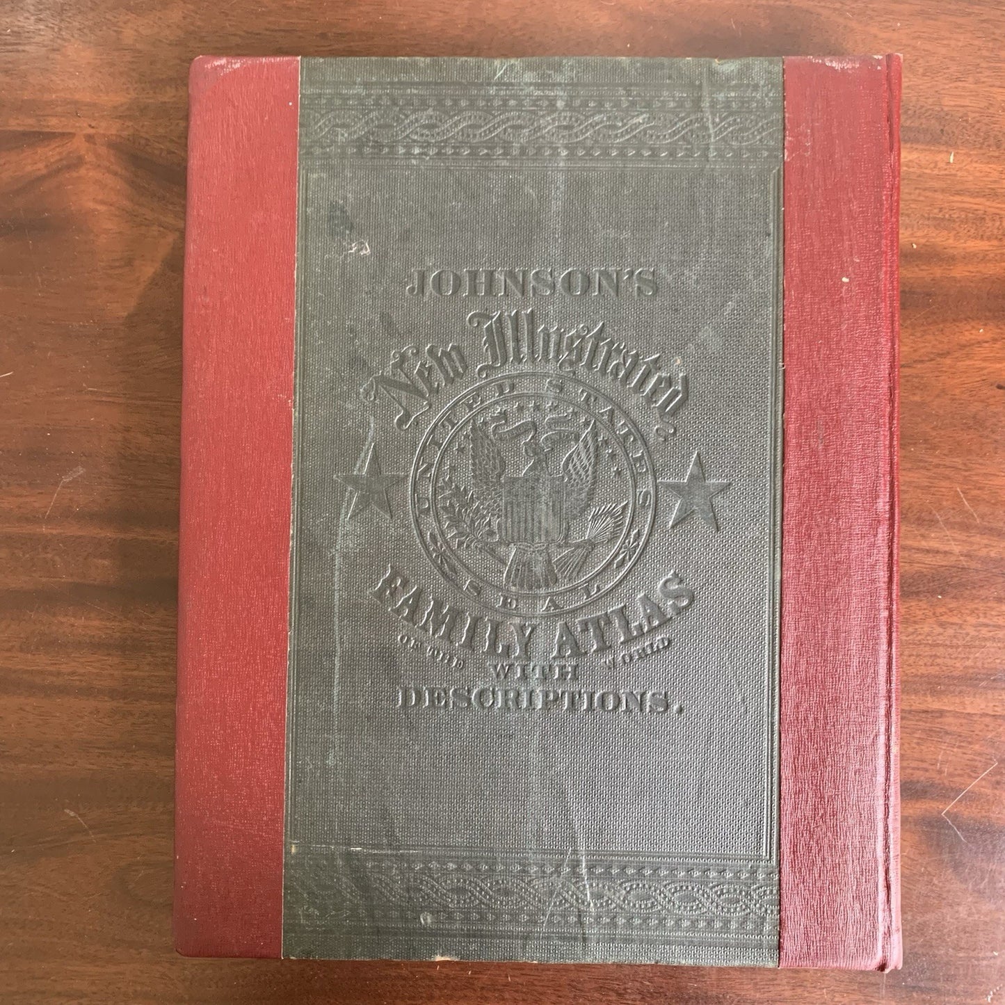
[World Atlas, 1865] Johnson’s New Illustrated (steel plate) Family Atlas, with physical geography, and with descriptions geographical, statistical, and historical, including the latest federal census, a geographical index, and a chronological history of the Civil War in America. By Richard Swainson Fisher.
New York: Johnson and Ward. 1865. 19.5” x 15”. Missing p. 20 (the Western part of the US map) and 74/75 (England, Wales). Beginning maps and pages have tape repair, but most are in VG+ condition with no tape. Slight rubbing to boards, Red binding on edges. Overall very good condition.
The 1865 edition of Johnson’s New Illustrated (Steel Plate) Family Atlas is a significant example of mid-19th-century American cartography and publishing. The atlas was designed as a comprehensive family reference, combining geographical, statistical, and historical information. It included detailed maps of U.S. states and territories, as well as world regions, and featured descriptive text, physical geography, and a chronological history of the Civil War—a major selling point in the post-war years. Satisfaction guaranteed or you can send it back!