1865 Atlas of the Oil Regions of Pennsylvania — F.W. Beers & Co. — Facsimile Reprint
Originally published in 1865 by F.W. Beers & Co., this atlas stands as the only regional atlas ever produced of Pennsylvania's oil regions and represents the most complete and detailed cartographic record of the area made at the time. It surpasses in detail all contemporary mapping efforts of the region, including the general and pocket maps issued separately by Colton, Townsend and Dale, Hunt, Howe, Root, and Anthony. The atlas includes the large Venango County map as originally issued, providing comprehensive coverage of the townships, roads, landowner names, and geographic features of this historically significant industrial region at the height of the mid-19th century Pennsylvania oil boom.
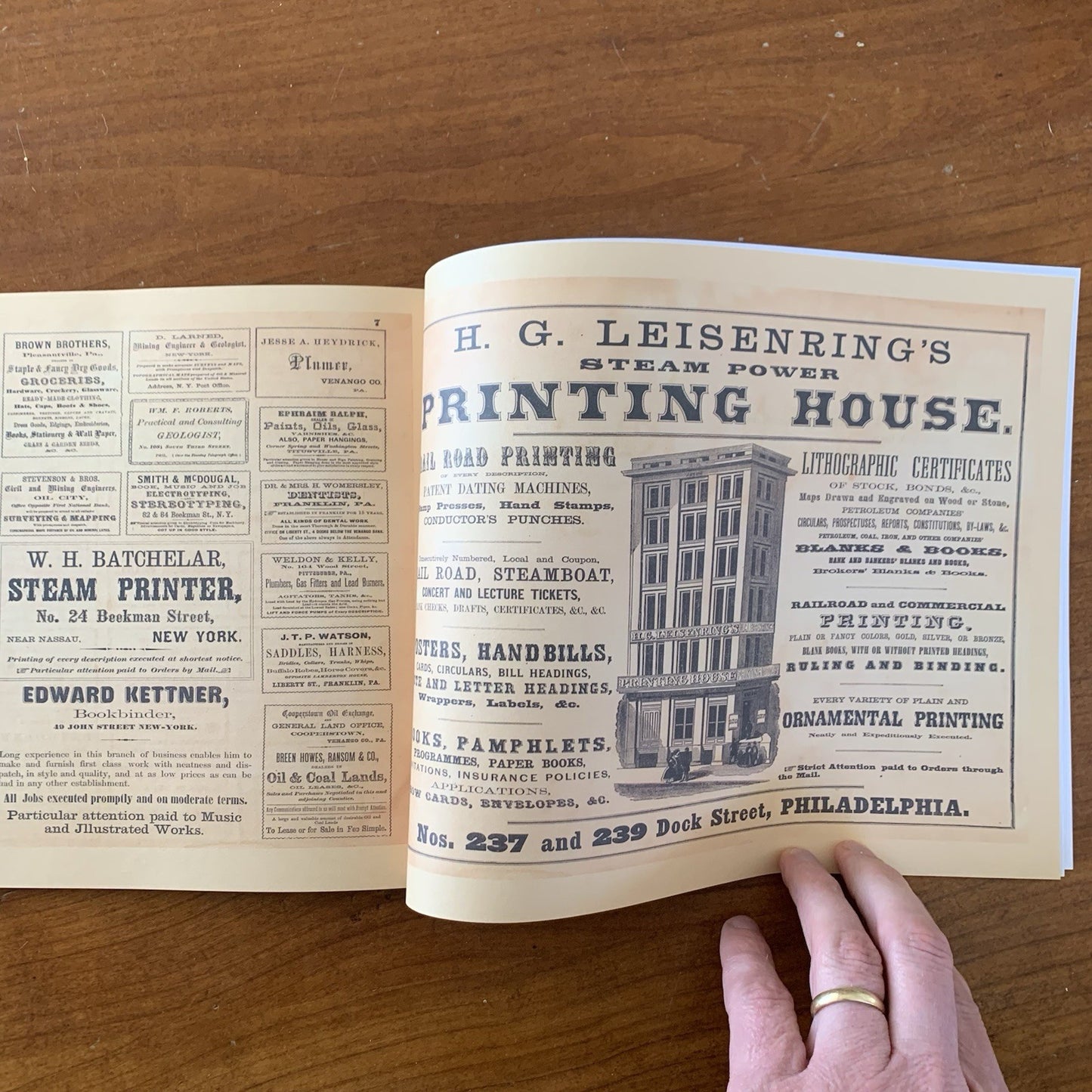
This is a modern facsimile reprint produced in full color across 62 pages, measuring 11" wide x 8.5" tall in a landscape-format paperback binding. All original maps and plates have been reproduced in color from the highest quality archival sources. This reprint is an ideal reference for historians, genealogists, and collectors researching the early American petroleum industry, Venango County land records, or 19th-century Pennsylvania geography. A must-have for anyone with an interest in the remarkable history of America's first oil region.