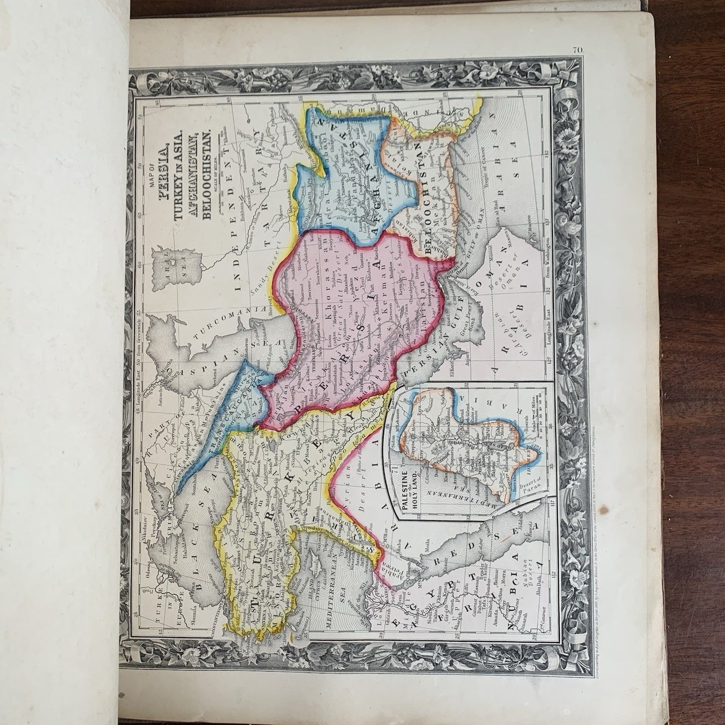
[World Atlas, Mitchell’s New General Atlas, 1861] Mitchell’s New General Atlas, Containing Maps of the Various Countries of the World, Plans of Cities, Etc. Embraced in Forty-Seven Quarto Maps, Forming a Series of Seventy-Six Maps and Plans, together with Valuable Statistical Tables.
Philadelphia: S. Augustus Mitchell, Jr. 1861. Missing p. 2 (Mercator’s Projection) else complete. Contains an unnumbered map of New Orleans. Rubbing to boards, front board detached from page block. A number of maps are loose. Maps have tears and staining throughout, but overall in bright condition, with numerous hand colored maps, the colors popping off the page. Overall good condition.
S. Augustus Mitchell Jr., marked a generational shift in American cartography. Mitchell Sr., originally a schoolteacher, built a publishing empire by addressing the poor quality of geography textbooks in the early 19th century. He collaborated with skilled engravers like J.H. Young and H.S. Tanner, eventually becoming one of the most prominent map publishers of his time. By the late 1850s, many of his copyrights had been acquired by Charles Desilver, but in 1859, Mitchell Jr. bought back most of the plates and launched his own line of atlases, introducing distinctive floral borders and updated content. From 1860 onward, he published Mitchell’s New General Atlas.
Satisfaction guaranteed or you can send it back!
Satisfaction guaranteed or you can send it back!